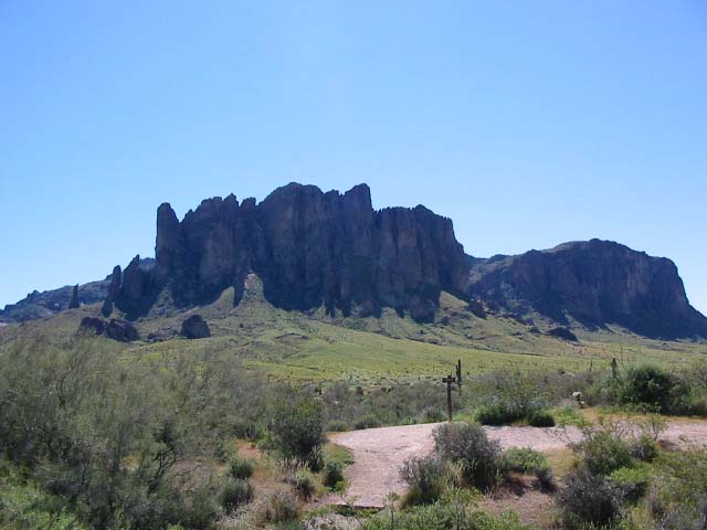
Superstition Mountains
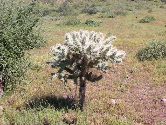
Teddy bear cholla, Opuntia bigelovii
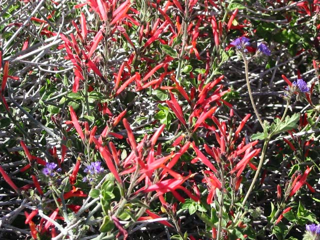
???
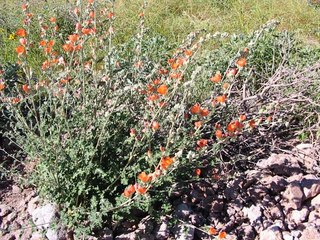
Desert Globe Mallow, Sphaeralcia ambigua
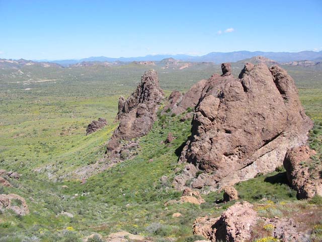
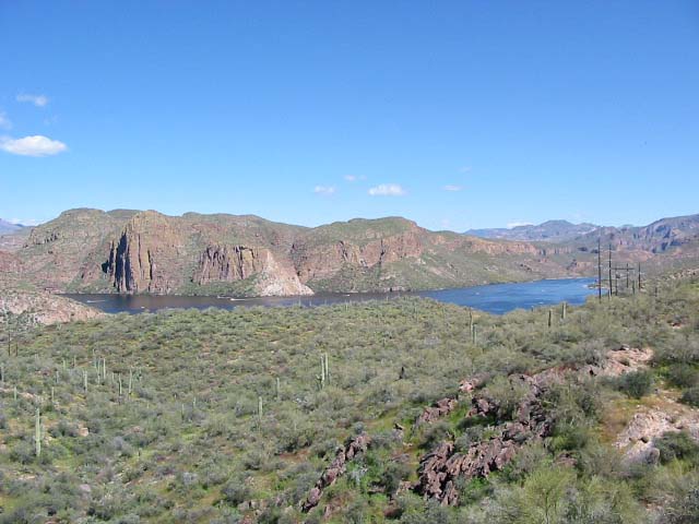
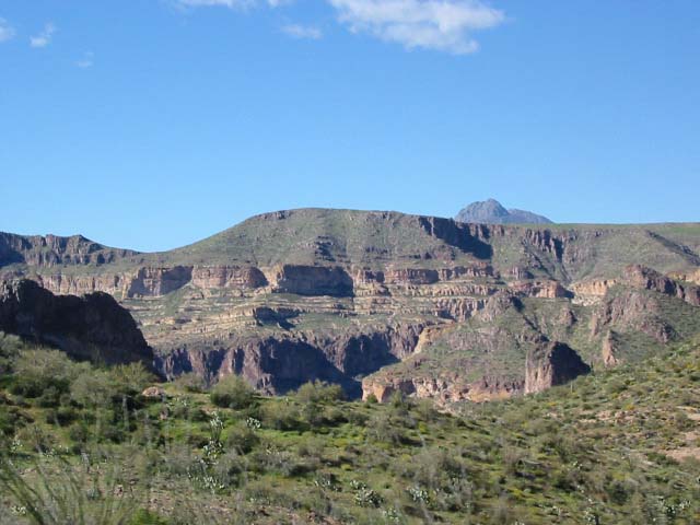
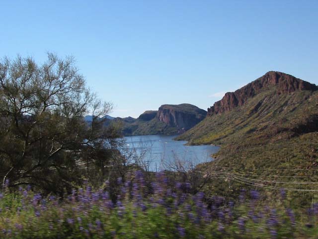
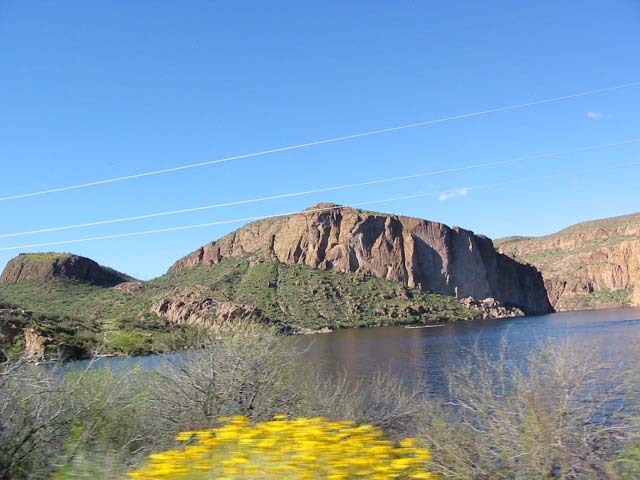
View north from Green Boulder, 2580'
Another view from Green Boulder, or maybe that actually *is* Green Boulder - map is unclear
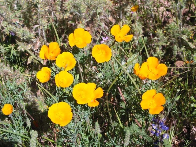
Eschscholtzia mexicana, Mexican Gold Poppy. An annual whose blooms are triggered by winter rains. Are cutely folded up until around 10 a.m. when the petals unfurl.
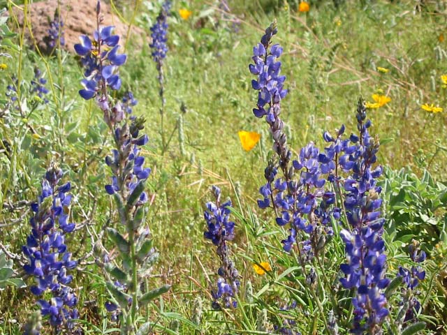
Lupinus sparsiflorus, Coulter's Lupine.
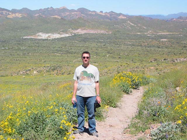
Mark, surrounded by Encelia farinosa, Brittlebush. This stuff is so abundant it actually got boring.
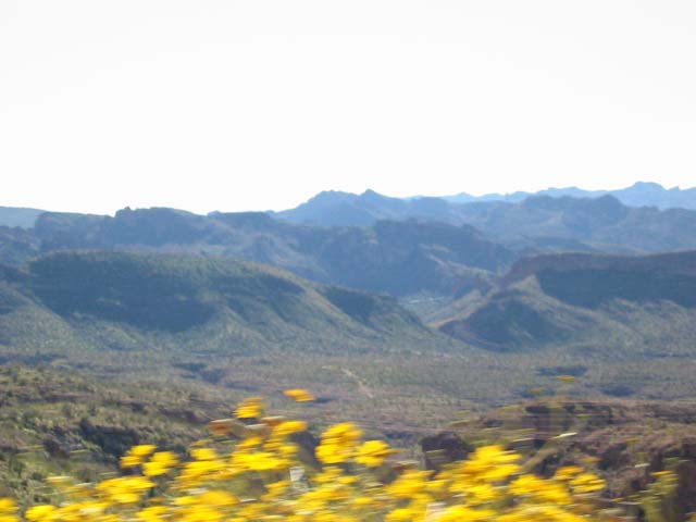
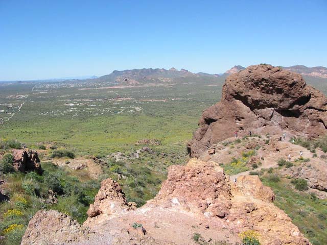
View of the mountainside, with a glimpse of the heavily populated valley beyond
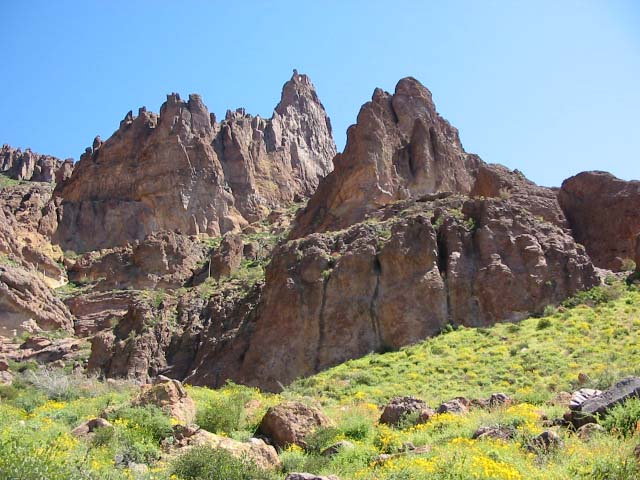
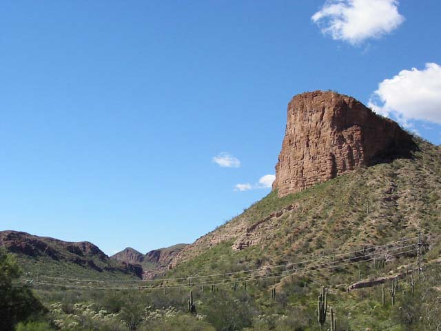
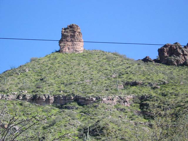
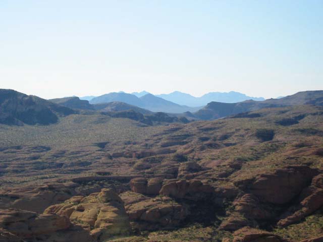
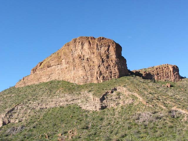
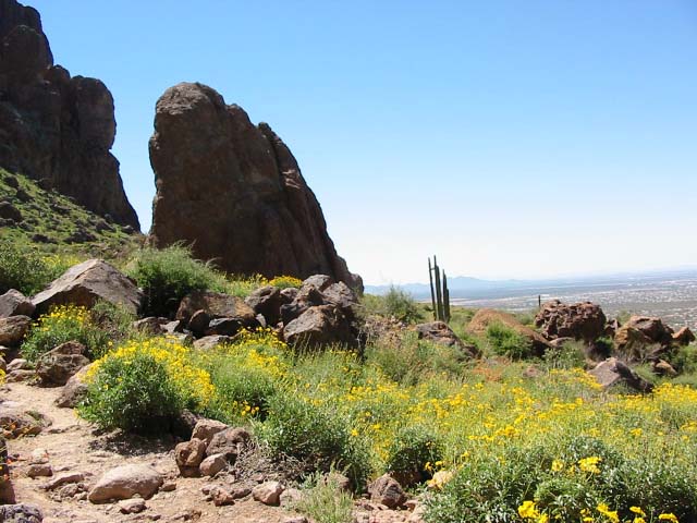
Cool rock formations
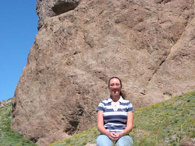
Diane in the sunshine
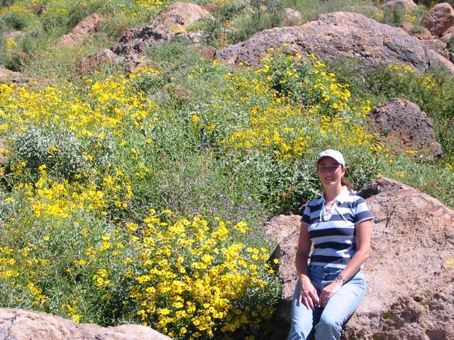
Diane again, and more brittlebush! Oy!
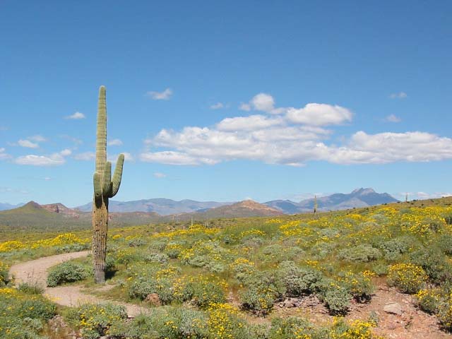
Back down on lower ground
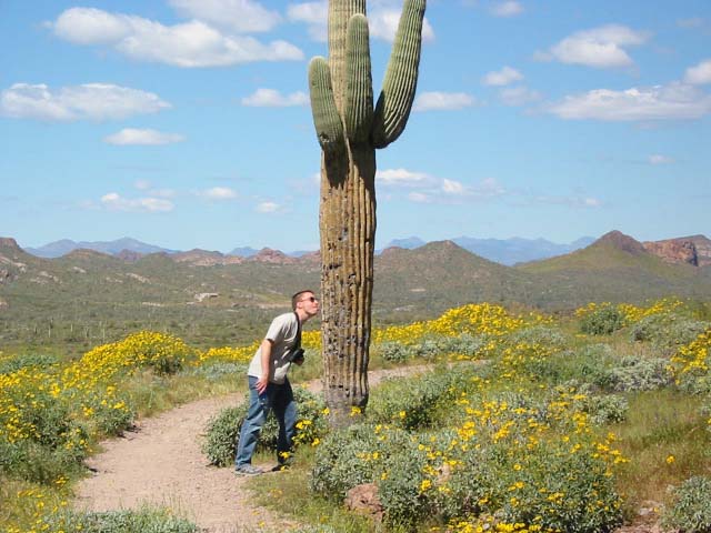
Didn't his mother tell him not to lick the cacti?